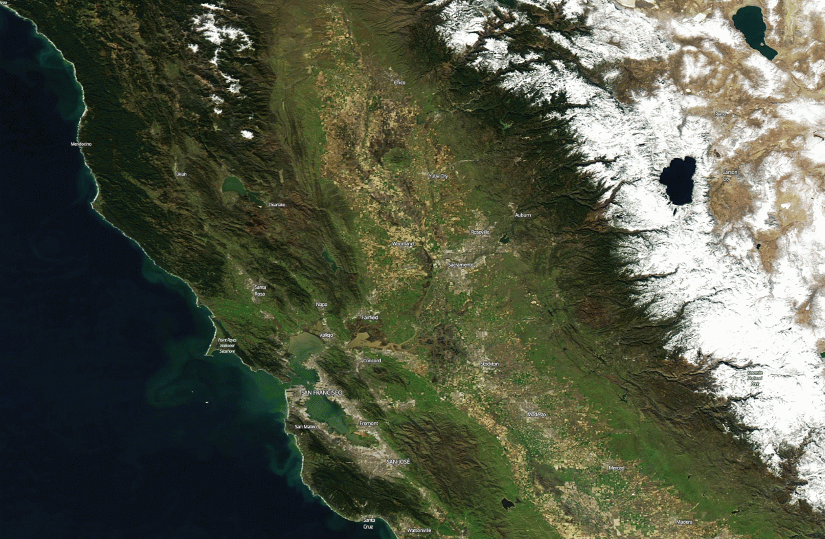
California rivers are so swollen from runoff that the impact is easily seen in these before and after satellite images
Posted on Categories Discover Magazine

An animation of satellite images taken about a year apart shows a huge difference in the amount of water flowing through waterways in California’s Sacramento River Delta. (Images: NASA Worldview. Animation: Tom Yulsman)
This animation of satellite images shows in dramatic fashion just how far California has come following one of its most devastating droughts on record.
To get the full effect, make sure to click on the animated GIF.
On Feb. 9, 2016, California was still in the grips of the drought. At that time, the waterways of the Sacramento River Delta were barely visible from space, as seen in the first image of the animation, acquired by NASA’s Aqua satellite. The second image, acquired today by Terra, Aqua’s twin, shows those waterways swollen and laden with brown sediment.
Also take a look at the coastal waters. The animation reveals that a lot more sediment is flowing into the ocean than a year ago — because so much more runoff is flowing out to sea.
In fact, there’s so much runoff from the huge amount of precipitation California has received in recent weeks that the Sacramento Bee is reporting this:
After five years of drought, could California really have so much rain and snow there’s no room to store all the water?
The answer – as the state’s water picture careens from bust to boom – is yes.
The Oroville Dam north of Sacramento actually overflowed today, with water topping the emergency spillway. The California Department of Water Resources emphasizes that there is no risk to the dam, or of flooding downstream along the Feather River at this time, and there is no imminent threat to the public.
Nonetheless, this is pretty dramatic:
This is drone video, shot just this morning, of water pouring over the spillway. The reservoir is at 149 percent of the historical average for Feb. 11.
Water pouring into the Feather River from Lake Oroville is making its way south into the Sacramento River Delta and adding to the flows there that have become visible from space.