Scientists Are Still Arguing Over the Source of the Mighty Amazon River
Posted on Categories Discover Magazine

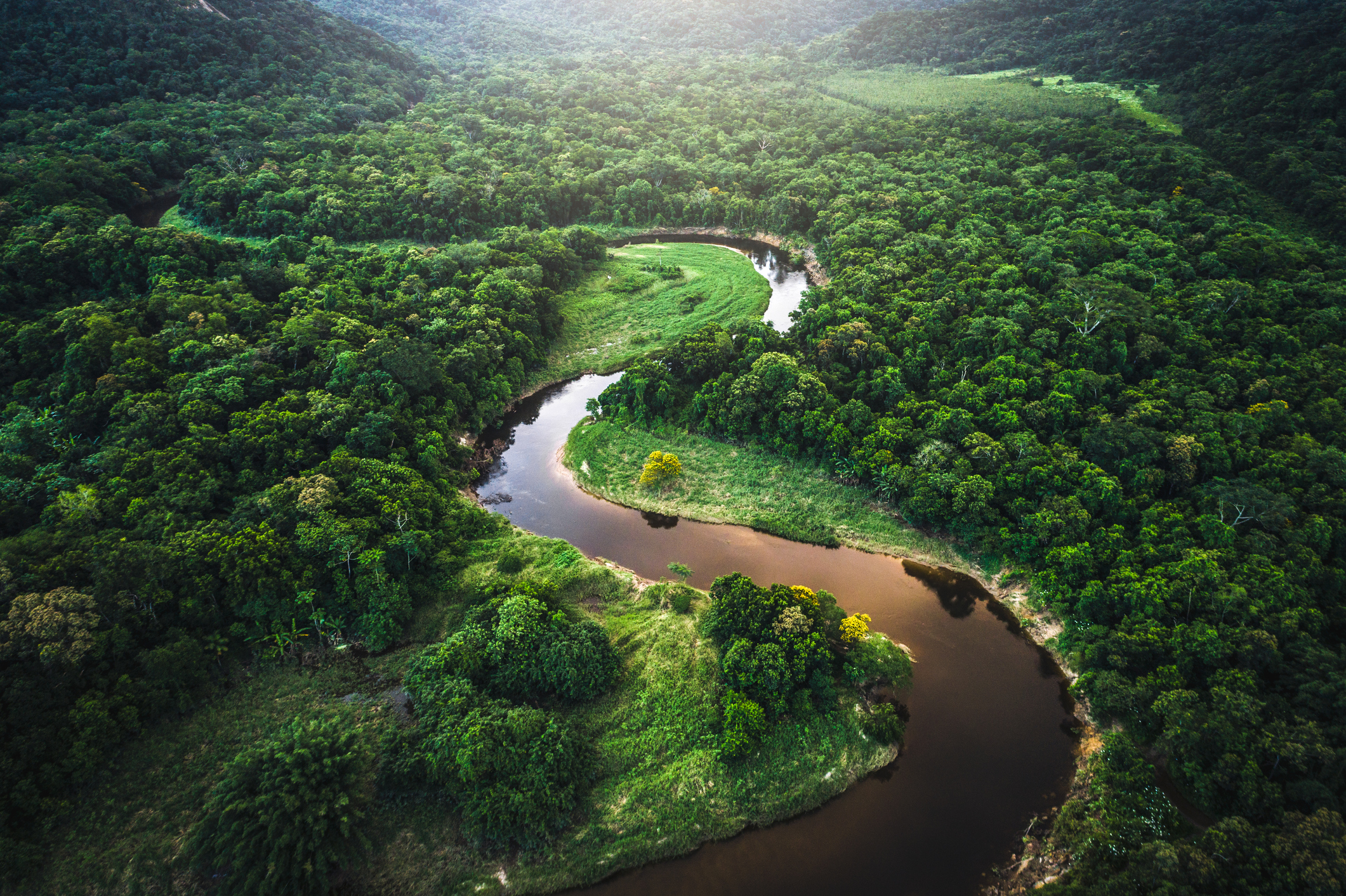
By many estimations, the Amazon may be the world’s mightiest river. It has the largest drainage basin in the world and is also the largest in terms of water volume.
Indigenous people have also been exploring the river for millennia. In more recent centuries, other explorers have sought to find the ultimate source of South America’s great river. These have included everything from European conquistadors nearly five centuries ago to more recent scientific explorations using modern technology.
While many of these expeditions have led to a wider knowledge about the vast hydrology of the Amazon, finding the definitive source of the Amazon River still remains an open question — similar to the ongoing exploration of the source of the Nile River in Africa. It depends largely on which branch you decide to follow, metaphorically and geographically. As such, scientists and explorers have argued for several different sources.
“The tricky thing about measuring the source of a river is the method you use dictates the result,” says Andrew Johnston, a manager at the Adler Planetarium in Chicago.
Early Explorers of the Amazon River
A Spanish stamp showing Francisco de Orellana. (Credit: Marques/Shutterstock)
The Amazon River had a whole host of other Indigenous names before Europeans ever explored its waters, given by the people who lived there.
The European name for the river was first given by Spanish conquistador Francisco de Orellano, who explored the river in 1541 after taking part in the conquest of the Inca in Peru. He supposedly fought with female Indigenous warriors on his journey, naming the river after the female fighters in ancient Greek mythology.
Read More: The Forgotten History of Amazon Warrior Women of Ancient Scythia
Orellano’s journey started in what is now Ecuador; he went along the Napo River until reaching the Amazon of Peru, then floated all the way down to the Atlantic coast and back up around the continent to the Caribbean. While he survived the trip, he died somewhere near the mouth of the Amazon on a subsequent return trip from Europe after his boat was wrecked.
Another major Amazon River explorer, Czech Jesuit missionary Samuel Fritz, started his journey near Quito, Ecuador on the Napo River, much like Orellano. His initial goal wasn’t exploration so much as missionary work among the Omagua Indians.
After catching malaria in 1689, Fritz decided to travel all the way downriver to the Portuguese city of Belem, near the Atlantic Ocean, to get help. Fritz then returned, mapping his way upstream. Fritz believed that the Marañón River, which the Napo flows into just downstream of the Peruvian city of Iquitos, was the main tributary and source of the Amazon.
Amazon Explorations in the 20th Century
Fritz’s belief about the source of the Amazon was more or less the definitive one until the 1900s, Johnston says. In the 20th century, expeditions began to verify, and ultimately to challenge, Fritz’s work.
By looking at maps, geographers started to believe that the Ucayali River was a longer tributary than the Marañón. (The Apurímac River appeared to be the main branch of the Ucayali.) Peruvian geographer Carlos Peñaherrera del Aguila identified the Carhuasanta River on Mount Mismi as the source of the Apurímac in 1969.
Read More: Is the Euphrates River Drying Up?
Some other expeditions followed, including a National Geographic trip in 1983 led by Loren McIntyre, a photojournalist. McIntyre followed the Carhuasanta River upstream until he reached a lake, now named after him. Other expeditions followed to Mount Mismi, including one in the early 1980s by Jacques Cousteau’s son, Jean Michel Cousteau.
A More Recent Expedition
More recently, in 1997 and 1998, Johnston ventured into the Amazon area as a geographer with the Smithsonian Institution. He was conducting some analysis with colleagues on a volcano in the Colca Valley that could be compared to volcanoes on Venus.
The research team first went to the headwaters of the Lloqueta, which is fed by five creeks: Carhuasanta, Sillanque, Apacheta, Calomarco and Ccaccansa. At this point, the waterways were just really streams — you could jump over them with a running start. They followed each of these upstream, including the Carhuasanta, mapping them out with GPS tracking data.
Read More: A Massive, Ancient Network of Cities Flourished in the Amazon for 1,000 Years
Their results affirmed McIntyre’s assessment that the Carhuasanta was the largest, and possibly the Amazon’s source, with a caveat: Johnston says that the Apacheta is similar in size, but due to a variable yearly flow, there may be some years that the Apacheta River is a little longer than the Carhuasanta. It’s likely the Carhuasanta is larger on average, though.
What’s unclear is whether Lake McIntyre could be defined as the headwaters, since the river drains underground for a period before reemerging into the Carhuasanta, Johnston says. Their team only considered water moving overground in their research.
Competing Claims
To make things even more complicated, in 2014, another expedition led by kayakers James Contos and anthropologist Nicholas Tripcevich purported to find that the Mantaro River was a longer branch of the Ucayali than the Apurímac — and is indeed the famed river’s most distant source.
While, as the bird flies, it appears that the Apurímac is longer, Contos and Tripcevich argued that the Mantaro’s numerous curves and turns make it longer than it appears on a map, therefore outdistancing the Apurímac.
Read More: Understanding the Amazon By Digging Into the Ground Beneath It
The issue with singling out the Mantaro as the Amazon River’s true source, Johnston says, is that numerous dams and diversions have changed its natural hydrology. Still, he’s friendly with Contos, and is happy their information adds to the overall knowledge of the Amazon’s tributaries.
“Some people would call it a muddied picture,” says Johnston. “I would choose to call it a rich tapestry.”