Designing Citizen Science for Both Science and Education
Posted on Categories Discover Magazine

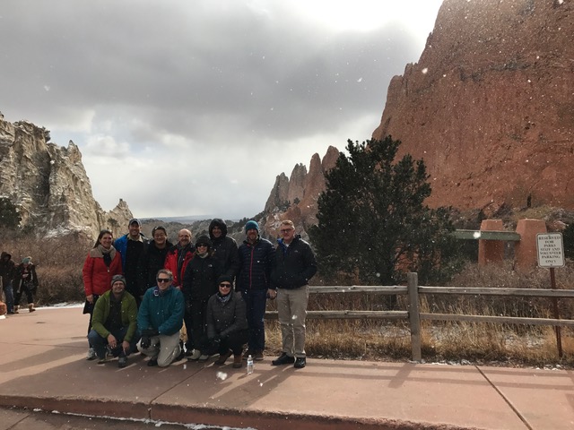
In January 2017, eleven field science advocates gathered in an unlikely location: indoors. These individuals were educators, scientists, and web platform developers participating in the Designing Citizen Science for Both Science and Education workshop, hosted by the Biological Science Curriculum Study (BSCS) in Colorado Springs, Colorado. The workshop focused on georeferenced field studies, which are projects that involve the collection of data organized by location.
Led by Dr. Daniel Edelson, Executive Director of BSCS, participants discussed the relationship between data collection and education in citizen science. “There is conventional wisdom that the two goals are in tension with each other,” Edelson explained. Some project organizers believe that in order to collect quality data, their tasks must be too rigid to allow for exploratory learning. Additionally, they may believe that, in order to provide a dynamic education to participants, projects must sacrifice some data quality. With this workshop, Edelson and his colleagues set out to debunk the myth that these two goals contradict each other.
They started by outlining the benefits of citizen science. What makes it such a unique teaching tool? And what is so special about tasking the community with collecting data as opposed to leaving it to trained scientists? Edelson said that workshop participants found that “people believe in citizen science for education because it’s a highly motivating context. It’s real world data that people have a personal experience collecting.” When learners leave the classroom to collect never-before-seen information, they remember what they learn.
If these data are widespread and plentiful, enlisting local passionate people not only engenders support from the community, but it also increases project scope to field locations that may be difficult for scientists to access. These locations may be distant from the scientist’s lab, require a technical approach, or may be on private property. For example, FrogWatch volunteers record croaks from throughout the United States, mapping the locations of different frog species. If this project relied on trained scientists, the data likely would be limited by lab resources.

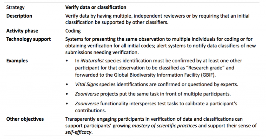
An excerpt from the workshop report outlining a research strategy and how it has been executed by known, successful projects.
Sarah Kirn, a workshop participant, managed Vital Signs from 2002 through 2012. Vital Signs, a project based out of the Gulf of Maine Research Institute, encourages students to map native and invasive flora and fauna in Maine. By partnering with middle school teachers, Vital Signs project organizers are able to access a large volunteer base while also educating young volunteers. At the workshop, Kirn explained the nuances of working with teachers’ public learning standards, emphasizing the time constraints teachers have when they are developing new lesson plans: “We realized that if we wanted to see teachers incorporating authentic investigation into their curriculum, we had to do our part to facilitate the process.”
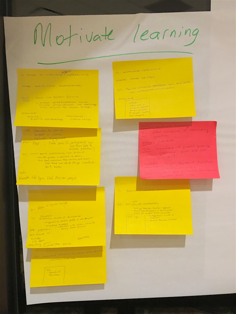
Through bringing together project leaders like Kirn who have expertise in both the data gathering and curricula aspects of citizen science, the workshop was able to produce a cohesive, example-driven report uniting these goals.
Along with publishing this report for broader use, BSCS plans to use information gathered to improve upon FieldScope, an interactive platform for network field studies. Currently, FieldScope lowers the barrier to entry for citizen science project organizers, allowing volunteers to upload data directly to personalized, self-updating graphs and mapping visualizations. Organizers can use this tool as a template to build on when developing their own websites. To benefit both the public and FieldScope, Edelson aims to make the report “a living database” that will grow to incorporate strategies from new and old citizen science projects.
As the Designing Citizen Science report and database evolve, BSCS plans to evolve FieldScope to fit the design needs of project organizers.With sponsorship from the Pisces Foundation, BSCS created this report for current and future citizen science project leaders. Now they need your input, reactions, and ideas to apply these design strategies to fit a wider variety of projects and benefit georeferenced field studies. BSCS currently welcomes comments and discussion at the bottom of the report. As BSCS and its collaborators develop more tools, be on the lookout for further ways to add to this repository of information!
Want more citizen science? Check out SciStarter’s Project Finder! With 1100+ citizen science projects spanning every field of research, task and age group, there’s something for everyone!
